Dear All,
dt <- tibble::tribble(~from, ~to,
                      "Western Sahara", "Morocco")
dataset <- geojsonR::FROM_GeoJson(url_file_string = "https://github.com/CodingWith-Adam/geoJson-map-with-react-leaflet/raw/master/src/data/countries.json")

for (i in 1:nrow(dt)){
  vars <- dataset %>%
    .[["features"]] %>%
    purrr::map_chr(~.x$properties$ADMIN)

  dataset$features[[which(vars== dt$to[i])]]$geometry$coordinates <-
  list(dataset$features[[which(vars== dt$to[i])]]$geometry$coordinates,
       dataset$features[[which(vars== dt$from[i])]]$geometry$coordinates) %>%
    do.call(rbind, .)

  dataset$features[[which(vars %in% dt$from[i])]] <- NULL
}

# Check
dataset %>%
  .[["features"]] %>%
  purrr::map_chr(~.x$properties$ADMIN) %>%
  .[. %in% dt$from]
my question how to write the the final database to json file?
If it's about merging 2 polygons, I'd rather go with sf package (and sfheaders for convenient hole removal -- those 2 polygons have gaps between them).
Here I'm selecting 2 polygons, creating an union of those and removing holes. Resulting union will replace one of the original geometries; the other is excluded when writing a geojson.
library(sf)
library(sfheaders)

countries <- read_sf("https://github.com/CodingWith-Adam/geoJson-map-with-react-leaflet/raw/master/src/data/countries.json")
countries$geometry[countries$ADMIN == "Morocco"] <-
  countries$geometry[countries$ADMIN %in% c("Morocco", "Western Sahara")] |>
  st_union() |>
  st_collection_extract("POLYGON") |>
  sf_remove_holes()

write_sf(countries[countries$ADMIN != "Western Sahara",], "countries.geojson")
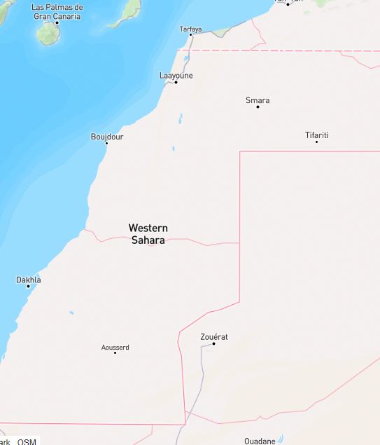
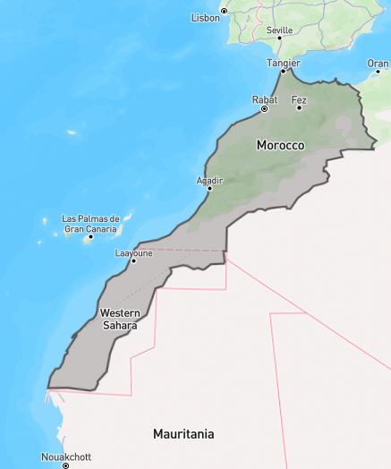
Hi.. Thanks for sharing your code, i tested the new countries.geojson by viewing it on mapbox to check the new coordinates
Before Editing
after merging "Morocco", and "Western Sahara"
There is some part in Western Sahara is not added Morocco.
I'm sorry, but I can't reproduce this.countries.json to Mapbox, perhaps with a different name but still with the original content.
library(sf)
#> Linking to GEOS 3.11.2, GDAL 3.6.2, PROJ 9.2.0; sf_use_s2() is TRUE
library(mapview)

orig <- read_sf("https://github.com/CodingWith-Adam/geoJson-map-with-react-leaflet/raw/master/src/data/countries.json")
orig[orig$ADMIN == "Morocco",] |> mapview()
orig[orig$ADMIN == "Western Sahara",] |> mapview()
# after merging:
merged <- read_sf("countries.geojson")
merged[merged$ADMIN == "Morocco",] |> mapview()
I did a mistake when i edited your code the first time.
1 Like
system
April 9, 2024, 12:20pm
6
This topic was automatically closed 7 days after the last reply. New replies are no longer allowed.